by admin | Nov 19, 2014 | 3rd/4th, 5th/6th, Geography, Powerpoint
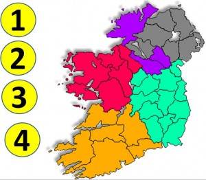
This Powerpoint presentation consists of an editable geography test based on the provinces and counties of Ireland. The teacher should place the animated discs on the desired province/county before running the presentation. The position of the animated discs can be...

by admin | Jan 29, 2014 | Teaching News
Ordnance Survey Ireland (OSI), in association with Scoilnet Maps, have announced a competition for primary schools called “Map My School”. Aimed at senior classes in primary schools (4th-6th classes), the Map My School competition sets out to bring map making and map...
by admin | Aug 27, 2013 | Resources Websites
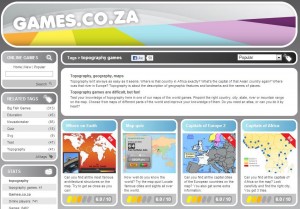
Topography Games is a section from the Games.co.za website. It is a free resource for teachers, pupils and parents to use and contains links to various Geography games which are suitable for senior primary and post-primary school aged pupils. Topography is about the...
by admin | Aug 14, 2010 | 3rd/4th, 5th/6th, Geography
A4 map of Athenry, Co. Galway, to be used in conjunction with the Athenry pictures resource on this site, suitable for doing a lesson on trails. (.doc file 878KB) Source: Pauline O’ Shea Download File… Log In RegisterThis content is for members...
by admin | Aug 14, 2010 | 3rd/4th, 5th/6th, Geography
Blank map of Ireland, county by county. (.jpg file 39.6KB) Source: Trystan Russell Download File… Log In RegisterThis content is for members...


